Some Thoughts from the Planner
I was pleased to have the opportunity to plan the courses for this event on Mike Hampton’s excellent map.
I think it is important to realise that an urban race is not the same as a sprint race and different considerations apply. In particular, I feel that many urban races are sometimes poorly planned as the there are too many controls on the courses, effectively removing route choice. It is therefore important to include some longer legs where it is possible for competitors to opt for significantly different routes. I attempted to do this at Shaftesbury on the longer courses, including in one or two instances the option of a long run round the hill or a shorter run with steep climb.
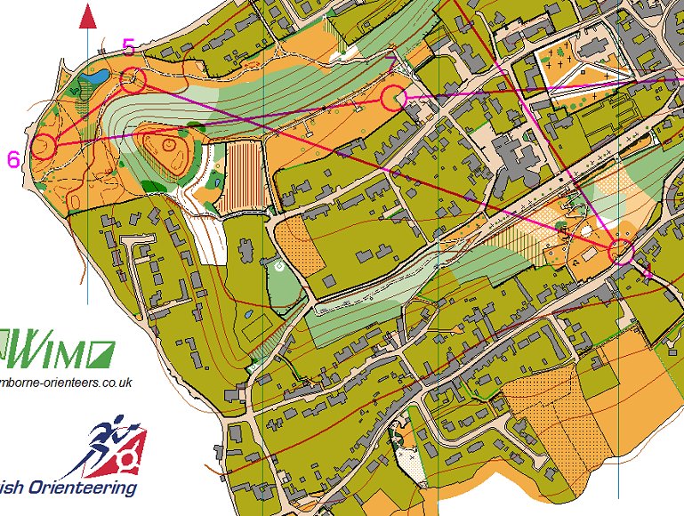
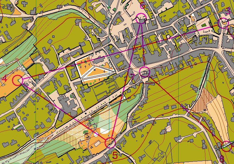
4 to 5 on Course 2 - route choice on a long leg
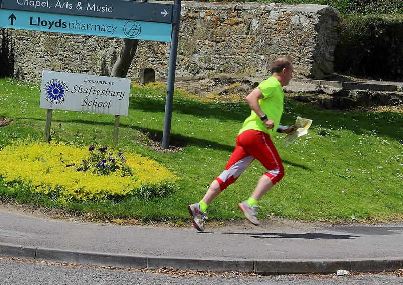
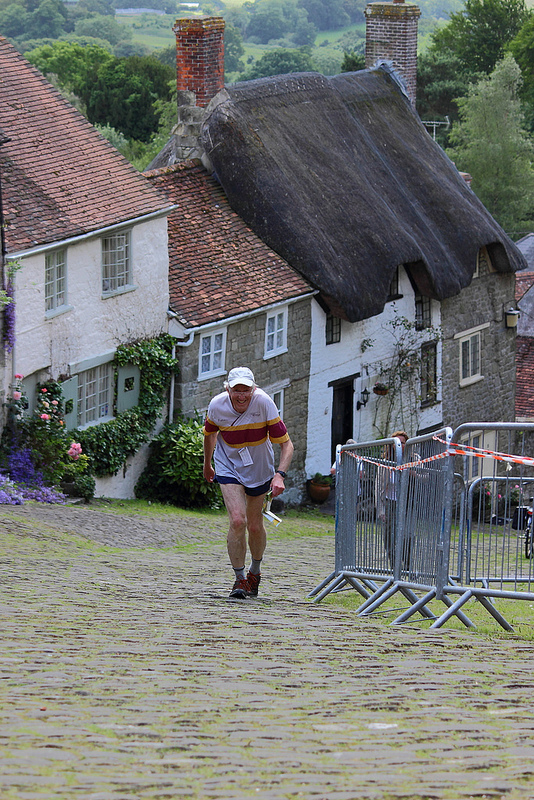
It also felt important to me that competitors should see the best of the town: the views northwards to Alfred’s Tower and Stourhead from Castle Hill, the views south to Hambledon and Bulbarrow from Park Walk, and of course the iconic Gold Hill. I was pleased to be able to use the Hovis Loaf as a control site!
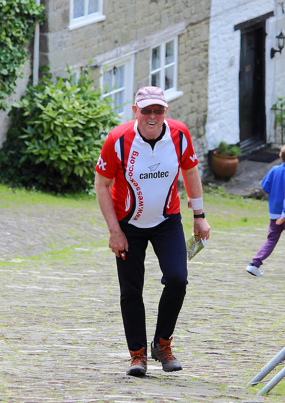
While we were very grateful to Shaftesbury School for enabling us to use their campus as the event centre and the location for the Start and Finish, there were reluctant to unlock more than a couple of gates in their perimeter, which reduced options for getting competitors away from the Start and back to the Finish. The centre of the town only has one or two complex alleyways so there were also not all that many options for placing lots of controls there, with route choice. (I don’t really count having to choose whether to go round a block of buildings to the right or the left, when there is no time difference resulting, as route choice).
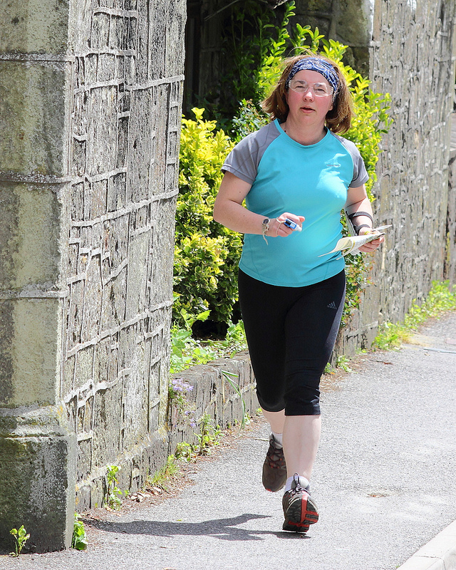
 We were extremely fortunate on the day to avoid any rain and in fact to enjoy some sunshine, which always makes urban orienteering a better experience – and the absence of rain meant Gold Hill and other routes were not dangerously slippery. I apologise to competitors who found themselves the wrong side of the fence when coming to the Finish, and therefore lost a few seconds: I realised too late that it is not possible to include in the control descriptions a description (e.g. “inside fence corner”) for the Finish Control, so should have sited it somewhere where there could be no doubt whether it was inside or outside the fence.
Let’s hope we will be able to use the map again in the not too distant future.
Martin Cross
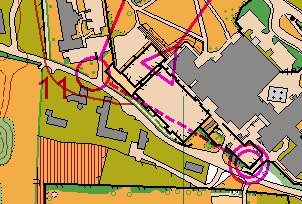
Course 3 - Shaftesbury town centre and Gold Hill
Mapping data licenced from the Ordnance Survey with the permission of the Controller of HMSO © Crown Copyright 2009. All rights reserved. Licence Number 100015287